

Frequently Asked Questions
Frequently Asked Questions

Which industries can benefit from using Remotely Piloted or Unmanned Aircraft to gather aerial data?
We handle the hassle, you handle the outcome. We put you in control of a camera in the air. You have full artistic and post production control without needing to worry about all of the rules and regulations of flying.
When time and resources are precious, find moving targets based on specific algorithms so that you don't have to search the entire haystack for the needle. Using moving taget indicators (MTI) leverages the best available technology to derive the best possible outcomes.
Learn more about Sentient Vision's Kestrel and ViDar systems here.
Our processes and procedures can make farming more simple and more efficient. From soil and moisture analysis to crop health and spraying, airborne data has never been more accessible. Combined with modern sensors, UAS can bring a new level of precision to resource application, disease detection, and volumetric measurements.
From pipeline monitoring using tools like change detection and thermal imaging, to flare stack inspections, to solar farm inspections, SkyTap's UAS dramatically reduce the need to use large aircraft, cranes or heavy equipment. The improved cost savings and safety margins will help each piston of your operation drive your results towards growth.
Change Detection can compare a baseline of imagery to a property after a natural disaster or claim. Precise volumetrics and analysis can ensure adequate coverage and prevent fraud.
2D and 3D maps and models using cutting edge software. High definition imaging and video for progress updates, investor meetings, sales, marketing and more.
We can provide on-demand maps and elevation data for your latest excavation and project milestone to ensure on time and on budget delivery to your clients.
Our countries infrastructure is vast and complex. Aerial inspections, mapping and analysis of materials can ensure your structures function exactly as you intended them to. We provide you with big picture data to help you make big decisions for years to come.
Our mobile devices play a role in our lives that we easily take for granted. How many of us no longer own a landline telephone? What does that mean under those rare circumstances when our critical telecom infrastructure fails? Frequent and in depth inspections of cellular towers and antennae using SkyTap's platforms can ensure that we all stay connected when it really matters.
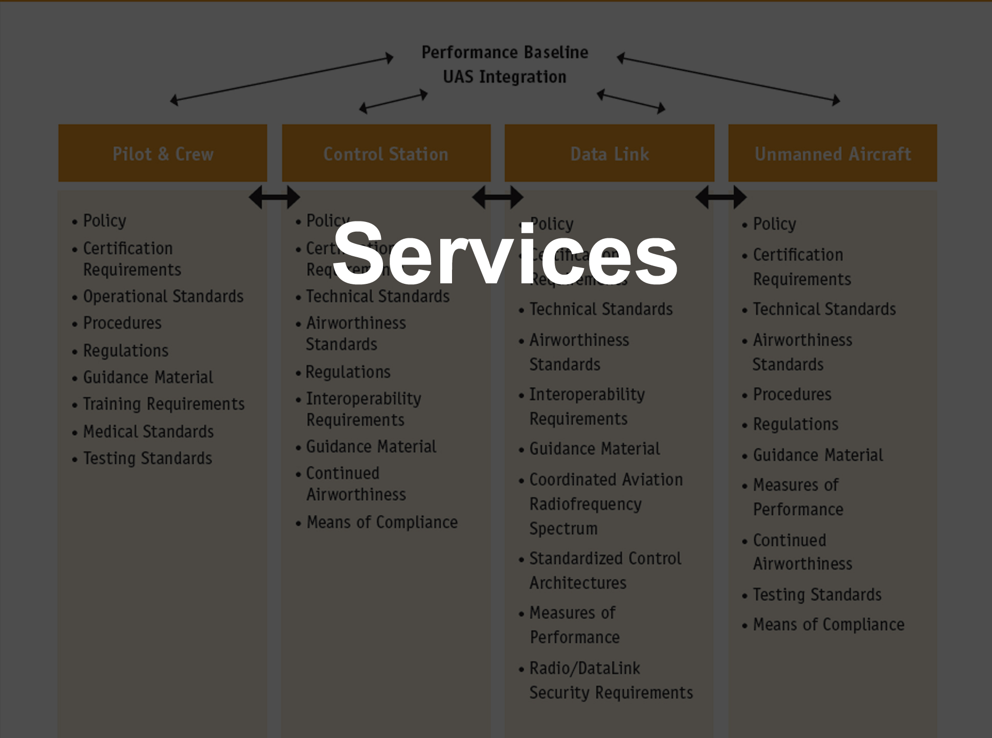
Why would anyone hire UAS services?
We allow you to create dramatic and compelling aerial experiences for your marketing, special events, movies, TV, sports, or social media. We can neatly deliver the final product to you or we can put you at the helm to give you full artistic control throughout the process to allow you access to professional aviation capabilities without the risks or costs.
We use RTK systems and the best available software to give you precise metrics on the same day that we fly. In a 20 minute flight you can get an update on your entire stockpile without anyone getting a single rock stuck in their boot.
We know how important our farms and farmers are to the strength of our economy. With our aircraft systems we can efficiently conduct crop scouting, plant health or stress monitoring, pre-planting survey, Nitrogen (NDVI) analysis and recommendation, yield monitoring, and high-fidelity drought and irrigation assessment. We want to see your fields thrive like never before.
Using multiple imaging spectrums and getting up close to critical infrastructure in all the right places can help provide the baseline for safety inspections that keep our daily lives on track.
We conduct high resolution mapping to include land survey, 3D models, orthomosaics, and Geographic Informational System (GIS).
We efficiently provide safe, residential and commercial roof inspections for damage repair and claims adjustments. With our high-resolution 2D and 3D models of each property calculating features like roof pitch and inspecting damage from the best angles in multiple spectrums can reveal details that save precious resources.
Tower inspections, windmill inspections, bridges, dams, and elevated roadways can all be inspected for defects, corrosion, cracks, and critters without time consuming climb to the top. We understand the aerodynamics and radio frequency interference principles involved in maintaining components of our infrastructure.
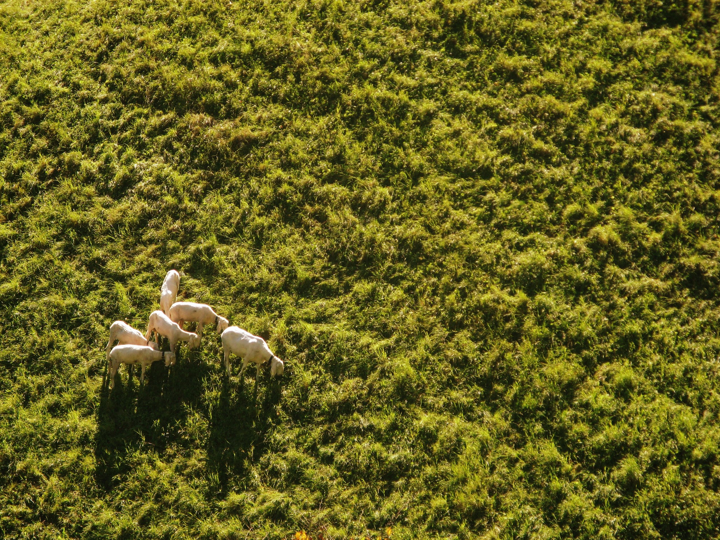
Searching is no longer done through a spyglass. We have organized search patterns and algorithms to identify people, land features, structures, a piece of valuable equipment or a sheep that has wandered from the herd. Our aircraft and software will give your search the highest probability of success.


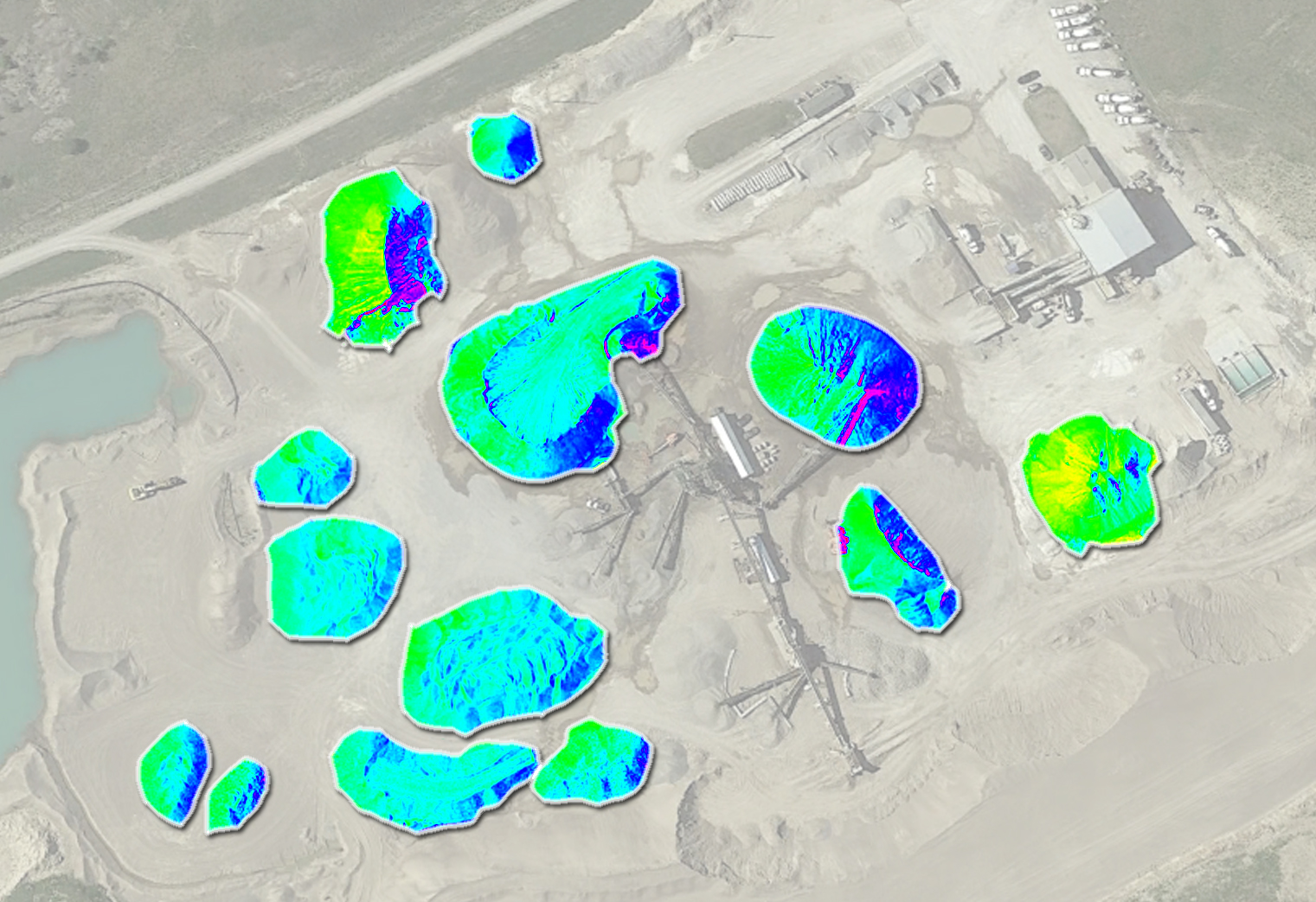
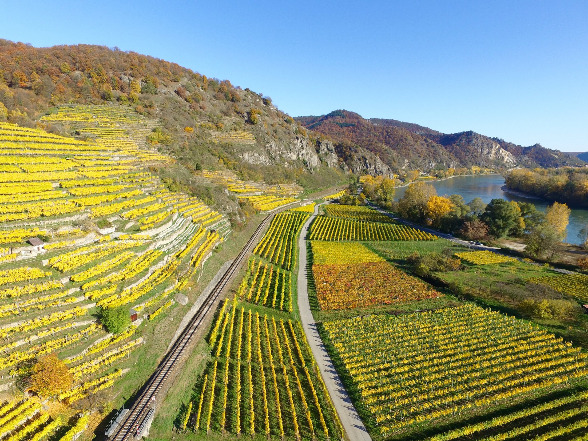

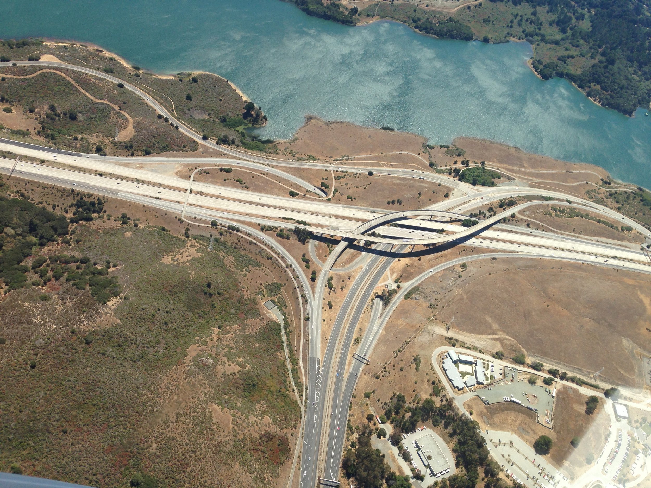
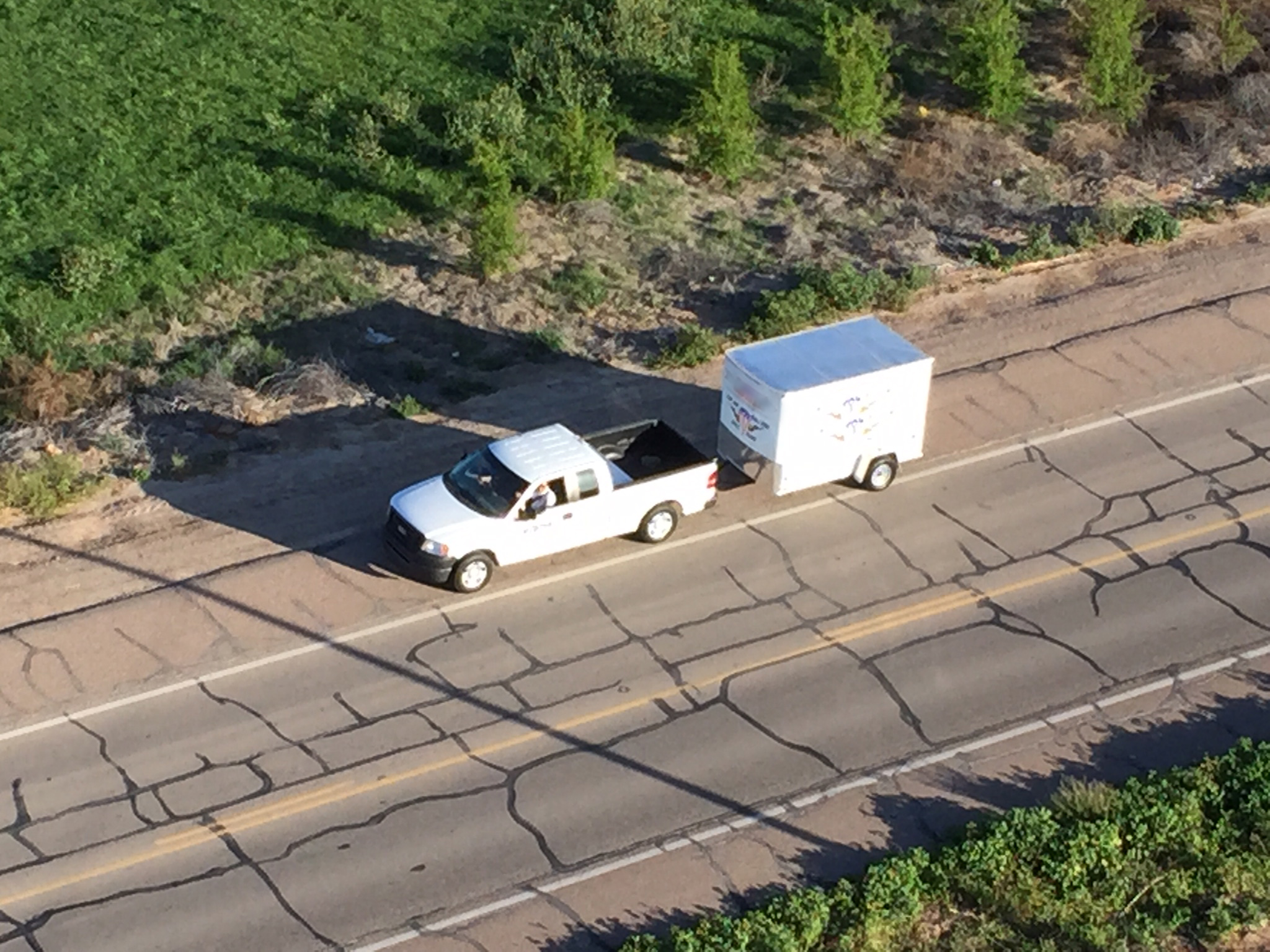


Forecasting, Volumetrics, GIS surveys, 3D Mapping, LIDAR, Synthetic Radar, and Multi-Spectral analyses of any location in the world can be accomplished with factors of efficiency never seen before. UAS can conduct more thorough analyses than traditional aircraft with low-variable costs at any altitude, even inside tunnels.