Aerial Videography
We allow you to create dramatic and compelling aerial experiences for your marketing, special events, movies, TV, sports, or social media. We can neatly deliver the final product to you or we can put you at the helm to give you full artistic control throughout the process to allow you access to professional aviation capabilities without the risks or costs.
Aggregates and Volumetrics
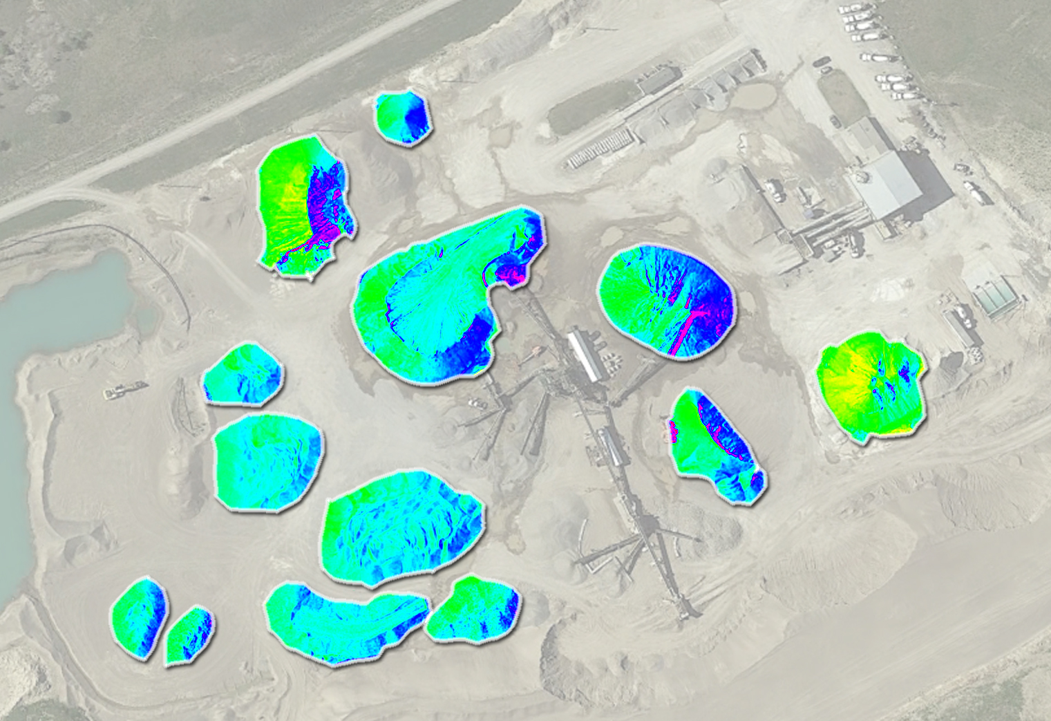
We use RTK systems and the best available software to give you precise metrics on the same day that we fly. In a 20 minute flight you can get an update on your entire stockpile without anyone getting a single rock stuck in their boot.
Farming Services
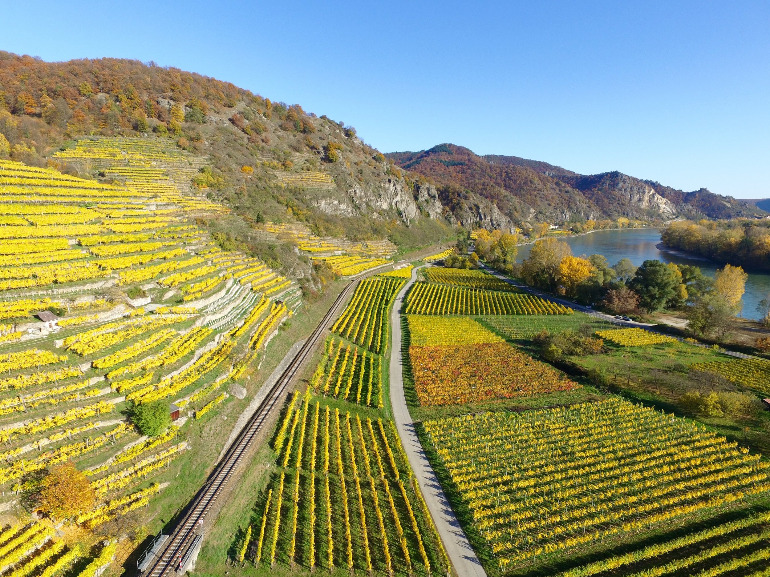
We know how important our farms and farmers are to the strength of our economy. With our aircraft systems we can efficiently conduct crop scouting, plant health or stress monitoring, pre-planting survey, Nitrogen (NDVI) analysis and recommendation, yield monitoring, and high-fidelity drought and irrigation assessment. We want to see your fields thrive like never before.

Inspections: Equipment, Structures, Bridges, Dams
Using multiple imaging spectrums and getting up close to critical infrastructure in all the right places can help provide the baseline for safety inspections that keep our daily lives on track.
Survey Grade Mapping
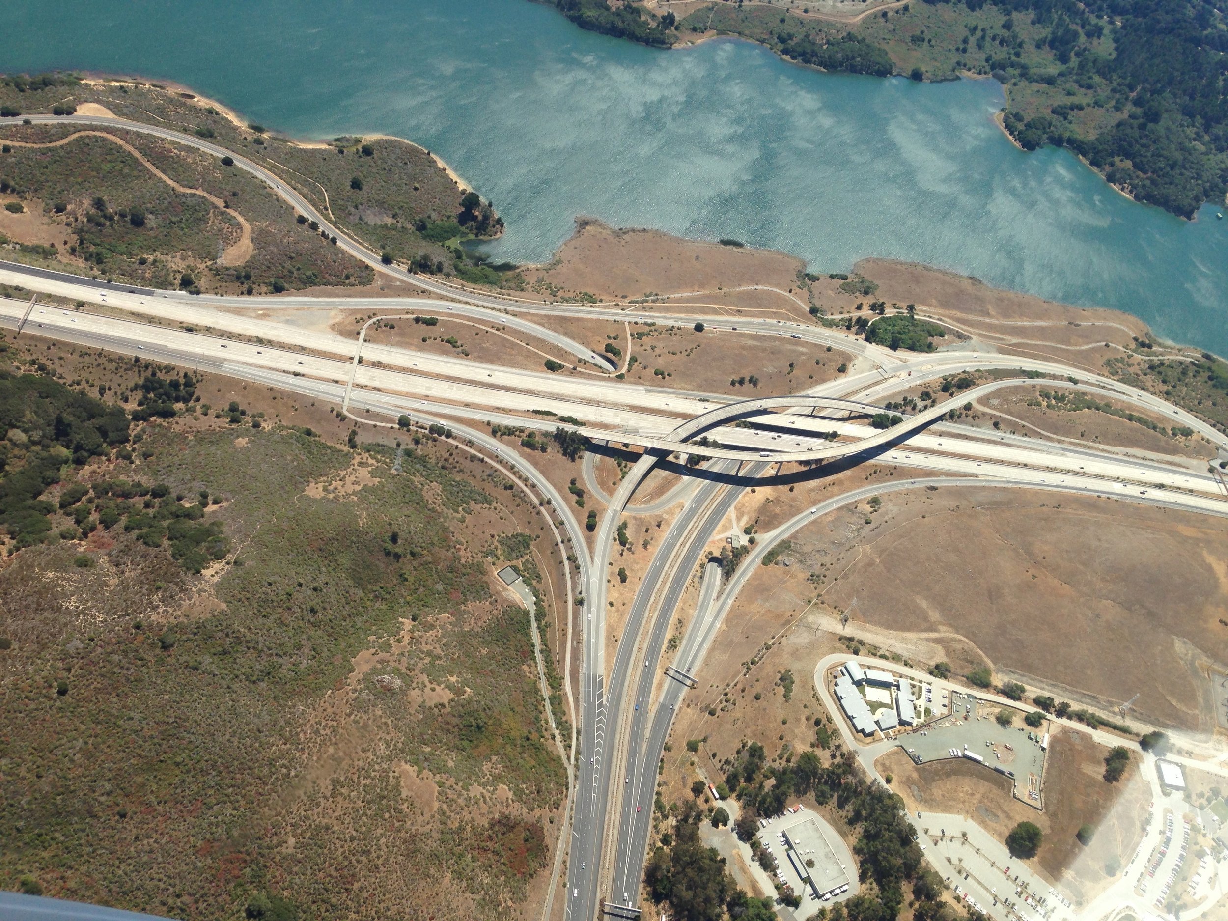
We conduct high resolution mapping to include land survey, 3D models, orthomosaics, and Geographic Informational System (GIS).
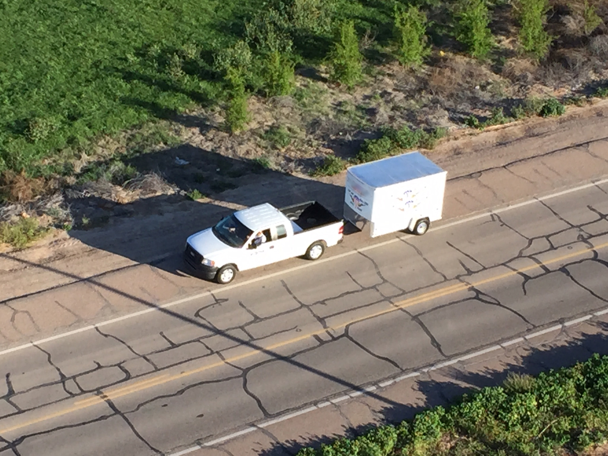
Valuable Asset Overwatch
View the road ahead. Situational Awareness has no substitute.

Insurance
We efficiently provide safe, residential and commercial roof inspections for damage repair and claims adjustments. With our high-resolution 2D and 3D models of each property calculating features like roof pitch and inspecting damage from the best angles in multiple spectrums can reveal details that save precious resources.

Asset Inspection and Monitoring
Tower inspections, windmill inspections, bridges, dams, and elevated roadways can all be inspected for defects, corrosion, cracks, and critters without time consuming climb to the top. We understand the aerodynamics and radio frequency interference principles involved in maintaining components of our infrastructure.
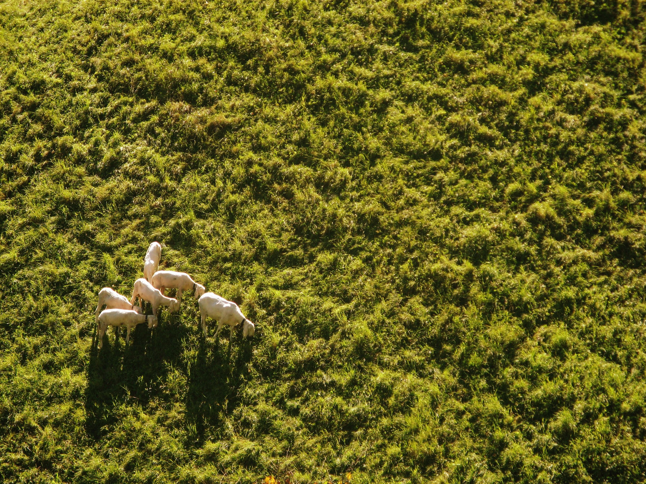
Search
Searching is no longer done through a spyglass. We have organized search patterns and algorithms to identify people, land features, structures, a piece of valuable equipment or a sheep that has wandered from the herd. Our aircraft and software will give your search the highest probability of success.


